What is the
Sheboygan River Basin
The Sheboygan River Basin includes most of Sheboygan County, along with northeast Ozaukee County, northeast Fond du Lac County, and parts of southern Manitowoc County. The rivers, lakes, groundwater and lands in the Sheboygan River basin sustain a wide range of plant and animal life as well as offer wide range of quality. From the natural and agricultural rural areas to the urban and urbanizing areas, one thing remains constant.
Our land and water resources are forever linked. Our activities on the land have an effect not just at the point of origin, but ripple throughout the basin. The quality of our rivers, lakes and groundwater also has influence over what we do on the land.
Today we are challenged with finding ways to balance our use of land and water with our desire to protect, restore and enhance the natural resources in the Sheboygan River basin. Building and maintaining strong partnerships with shared visions and goals are essential to striking this balance. (Wisconsin DNR)
The Great Lakes contain approximately 20 percent of the freshwater supply on earth and over 40 million people rely on this as a source of drinking water.

What is a Watershed?
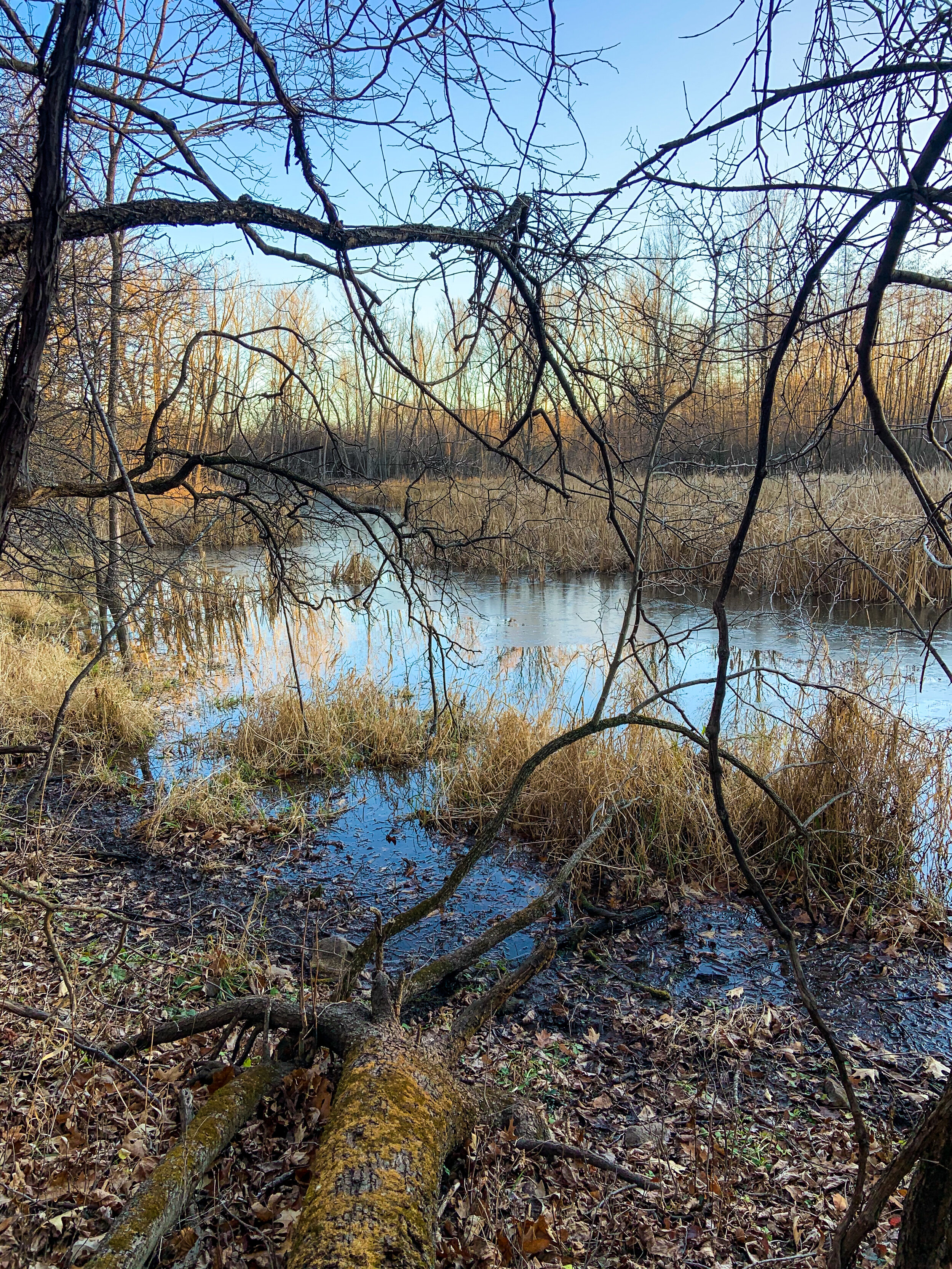
A watershed is the drainage system of a defined area. All runoff water, including rainfall and snowmelt, in our watershed flows into area streams, rivers, and eventually into Lake Michigan. As water travels it picks up pollutants and sediment from many sources. How we build and maintain our cities, towns, roads, farmland, and parkland all determine the quality of the Sheboygan River Watershed. This is why erosion or pollution anywhere in the watershed affects the rivers and lakes.
Watershed Details
The Sheboygan River Basin encompasses approximately 615 square miles of land in Sheboygan, Ozaukee, Fond du Lac, Calumet and Manitowoc Counties. The following six watersheds compose this basin: The Mullet and Onion River watersheds, which drain directly into the Sheboygan River, and the Black, Sauk, Pigeon, and Sucker River Watersheds, which in turn drain directly into Lake Michigan. Altogether, the Sheboygan River basin contains 21 lakes and six river impoundments greater than 10 acres.
Basin Topography
The topography of the Sheboygan River Basin varies. Low rounded hills interrupted by narrow valleys and numerous wetlands are found in the western portions. A central band of Kettle Moraine landscape divides the basin, which grades into irregularly low, flat moraine landscape to east. The local elevation varies between 50 and 150 feet, generating an average river gradient that approaches seven feet per mile. The soils in this basin tend to be quite loamy and light textured in the west, gravelly in the central areas, with heavy clay soils in the east. These heavy clay soils are often very fertile, but with a low permeability, which promotes runoff of soil and animal waste.
Water Quality
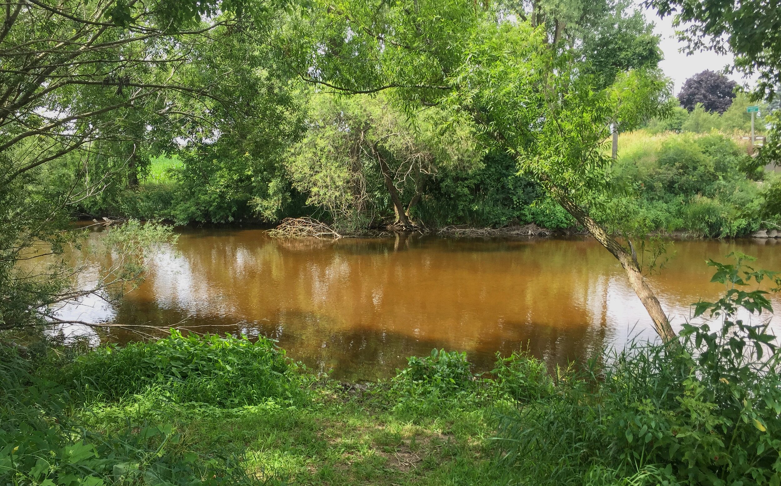
Runoff from both specific and diffuse sources, contaminated sediment, habitat modifications (such as channelization and dams) have degraded water quality throughout the Sheboygan River basin. Construction site erosion and impervious surfaces (roads, roofs, parking lots) are generating threats to water quality, especially in the eastern portions, as the Sheboygan River basin grows increasingly urban.

Recreational Use
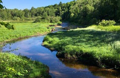
Recreational use of this basin varies for each locality or region. In the eastern regions, non-contact recreation such as, jogging, walking, and bicycling is popular in many of the parks in Sheboygan and Sheboygan Falls. The beaches and near shore waters in the Sheboygan area are also popular spots for wading and swimming. However, due to the extensive amount of privately owned river frontage around Kohler, these activities are sometimes restricted. Generally, there is a good diversity of sport fish, especially in the low reaches of this basin. However, dam and impoundment areas around Sheboygan, Sheboygan Falls and Kohler present barriers to fish movement, and usually result in poor water quality because of the chronic sediment and nutrient build-up. The western portion of this basin is a popular area for hunting and fishing due to its high density of wetlands and surface waters.